
MapGO
How far is this point from the sea? From the nearest border? Which country, region and district are it in? MapGO answers those in one click.
What is MapGO?
• Distance to Coastline: Get the exact distance from any point to the nearest sea, measured against high-resolution global shoreline data. • Distance to Border: Find how far a point sits from the nearest administrative boundary, drawn on the map so you see which border matched. • Location Hierarchy: Turn any coordinate into its full continent, country, region and district chain in one lookup. • File Conversion: Convert between Shapefile, GeoJSON, KML, GeoPackage, FlatGeobuf and SQLite, and reproject while you're at it. • Spatial Measurement: Measure distance, area, radius and compass bearing by clicking on the map, in metric or imperial units. • Intuitive Workspace: Draw, layer, style and edit your own map data in a clean workspace that needs no download or setup.
MapGO Core Features
Intuitive Workspace
Spatial Measurement
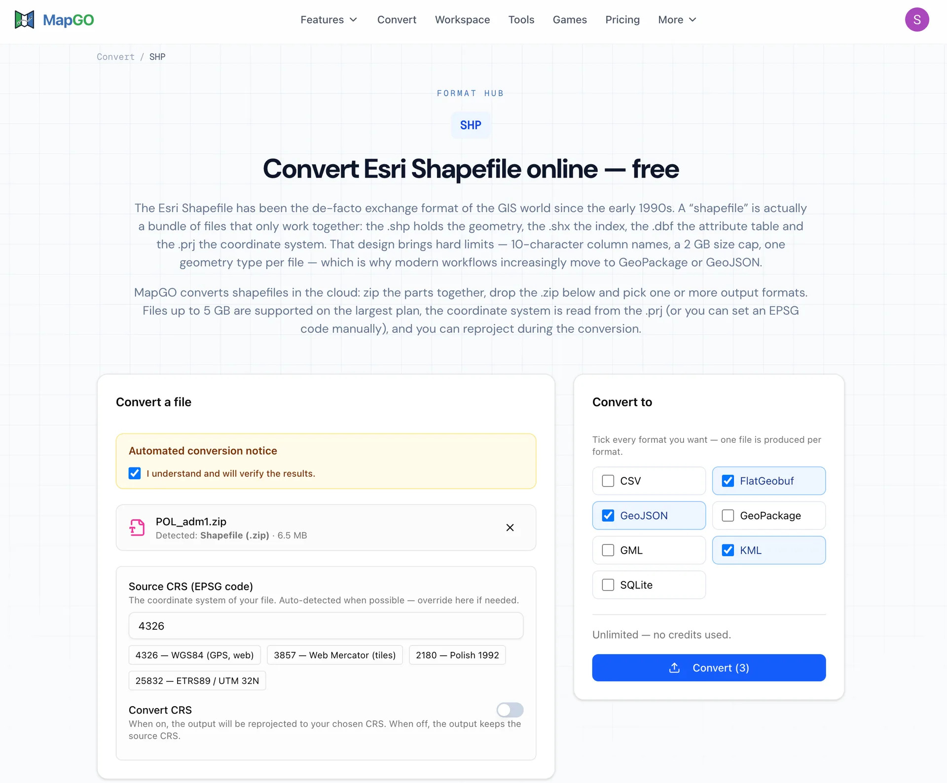
File Conversion
Who is MapGO for?
GIS analysts, Cartographers, Surveyors, Environmental researchers, logistics planners, Real estate professionals, and Developers.
MapGO Use Cases
Productivity
Analytics
Conversion
MapGO Pros and Cons
Pros
- n/a
- n/a
- n/a
Cons
- n/a
FAQ About MapGO
MapGO Alternatives

Trooly
Trooly is an AI-native qualitative research platform. It writes the research plan, screens and recruits participants, moderates one-on-one multimodal voice interviews, and synthesizes transcripts into themed reports. Product and research teams can bring their own users at $10 per interview, or let Trooly recruit from a network of 180M+ respondents, with every interview quality-checked before delivery.

Vert
Vert is a computer-vision parking operations platform for property managers, municipalities and parking operators. It pairs smartphone-based automatic license plate recognition with digital permits, guest registration, hourly and monthly payments, violation ticketing, appeals and reporting in one branded system. Teams scan plates on foot or by vehicle, check infractions against live permit and payment records, and issue digital or printed notices without separate camera hardware.

AI Visibility Audit
AI Visibility Audit analyzes how ChatGPT, Claude, Perplexity, and other AI search engines understand your website. The tool performs a technical.