
GeoSpy AI
GeoSpy AI was created by Graylark Technologies to determine where an image was captured using visual information alone, with no GPS or EXIF metadata required. In April 2026 it became Raven, a frontline visual intelligence platform that geolocates images and video frames down to street level, identifies vehicle make and model, and flags AI-generated or manipulated media for law-enforcement and government teams.
What is GeoSpy AI?
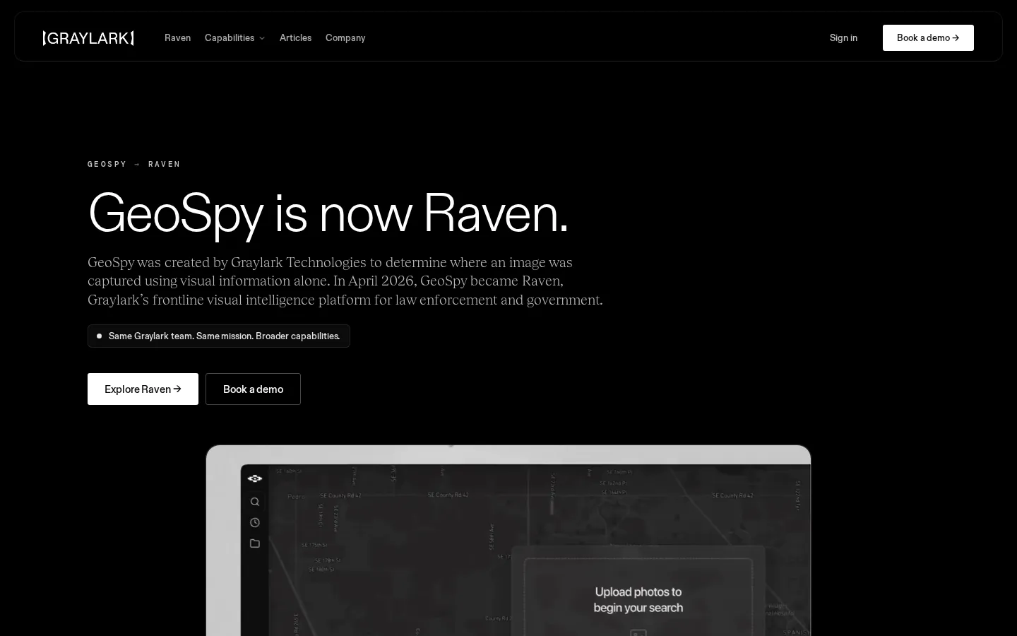
GeoSpy AI is the image geolocation product created by Graylark Technologies to determine where an image was captured using visual information alone. When an image has no GPS coordinates, no EXIF metadata, and no recognizable landmarks, GeoSpy still analyzes the pixels themselves — lighting, geography, vegetation, architecture, signage, and other subtle visual signals — to produce ranked candidate locations rather than a single guess. The product was created by the Graylark team and quickly became known among investigators and open-source researchers as a tool that could narrow an unknown photograph to a plausible region. In April 2026, Graylark renamed and expanded GeoSpy into Raven, its frontline visual intelligence platform for law enforcement and government, after the system grew beyond pure geolocation into a broader investigative workspace. The official transition page explains that the same team builds both products and that geospy.ai and graylark.com are the only official domains; third-party sites using the GeoSpy name are not affiliated with Graylark. Raven keeps everything GeoSpy was known for — image and video-frame geolocation — and adds street-level and meter-level targeting that narrows a search area down to candidate addresses, vehicle identification that returns ranked make, model, generation, and year candidates even from partial or obstructed views, and a Verify Image capability in beta that assesses whether an image shows signs of AI generation, face swaps, or other manipulation. Every capability works from the visual content alone, requires no metadata, and returns ranked candidates for human review rather than an automated verdict. Results are organized inside case-oriented investigative workflows, and existing users sign in through the Raven workspace while new organizations request a demonstration. Graylark has positioned Raven as system one of its applied AI research lab and announced $10.7 million in funding to build it out, and the platform continues to evolve under the same founding team that created GeoSpy.
GeoSpy AI Core Features
Find Region
Returns ranked regional candidate locations for where a photograph or video frame was likely captured, working from visual content alone with no GPS or EXIF metadata required.
Find Street
Narrows a selected broad search area down to ranked street-level, property-level, or meter-level candidate locations for investigator review.
Identify Car
Returns ranked make, model, generation, and year candidates for vehicles seen in partial, interior, obstructed, or exterior views (marketed as CarID v2.0).
Verify Image (Beta)
Assesses imagery for signs of AI generation, face swaps, and other manipulation, and returns authenticity findings for further review.
Image and Video-Frame Geolocation
The original GeoSpy capability continues inside Raven, analyzing pixels, geography, lighting, and environmental cues to locate where content was captured.
No-Metadata Analysis
All capabilities work purely from the visual content of an image, with no reliance on GPS data, EXIF headers, or other hidden metadata.
Ranked Leads for Human Review
Output is presented as ranked candidates with confidence ordering instead of a single verdict, keeping a human in the investigative loop.
Case-Oriented Investigative Workflows
Results and candidate locations can be organized around active investigations rather than one-off lookups.
Who is GeoSpy AI for?
GeoSpy AI, in its current form as Raven, is built for qualified professionals whose work depends on finding out where imagery came from and whether it can be trusted. Law-enforcement detectives and investigators use it to turn a single low-context photograph or video frame into ranked regional and street-level leads they can act on quickly; Graylark describes a real case in which one frame put officers on scene within eight minutes. Public-safety agencies rely on it for livestreams, surveillance footage, and field imagery where metadata was never present or has been stripped. Government analysts and intelligence professionals form the core audience, applying region estimation, street targeting, and vehicle identification to enrich low-context media before human review, alongside image-verification checks that flag deepfakes and face swaps. Enterprise and corporate security teams investigating fraud, theft, or threats use the same workspace for case-oriented workflows that keep evidence and ranked candidates organized. Existing GeoSpy users who previously researched images for investigative work can continue through the Raven sign-in page when their organization is qualified, while journalists and open-source researchers evaluating the platform should request a demonstration to confirm eligibility, since access is limited to approved public-sector and enterprise organizations, and teams are onboarded directly by Graylark once their use case is approved.
GeoSpy AI Use Cases
Determine the region where a low-context photograph was captured when GPS, EXIF metadata, and obvious landmarks are all missing.
Narrow a broad search area down to ranked street-level or property-level candidate locations during an investigation.
Identify a vehicle's make, model, generation, and year from a partial, interior, obstructed, or exterior view in a single frame.
Screen imagery for signs of AI generation, face swaps, or manipulation before treating it as evidence.
Geolocate frames pulled from video or livestream footage where metadata has been stripped or never existed.
Organize ranked location and identification leads into case-oriented investigative workflows for team review.
Verify whether a portrait, scene, or document image has been digitally altered before it is used in an investigation.
GeoSpy AI Pros and Cons
Pros
- Works without metadata: location, vehicle, and authenticity analysis all run on the visual content of the image itself, which is exactly what investigators need when EXIF and GPS data are absent.
- Ranked candidates with human review: output is presented as ordered leads rather than a single automated verdict, matching how professional investigations actually work.
- Broad capability set: one workspace covers region geolocation, street-level targeting, vehicle identification, and deepfake screening of the same frame.
- Credible operator: built and funded by Graylark Technologies, an applied AI research lab that announced $10.7 million in funding, with official domains clearly designated.
- Continuity for existing users: former GeoSpy users keep access to their workspace through the Raven sign-in page rather than losing their history.
Cons
- Not open to the general public: access to Raven is limited to qualified law-enforcement, government, public-safety, intelligence, and enterprise organizations, so casual users and hobbyist OSINT researchers can no longer use the tool freely.
- No public pricing: there are no published plan prices or self-serve signup — every new organization must request a demonstration and be approved, and the geospy.ai/pricing page returns a 404.
- Brand transition confusion: the April 2026 rename to Raven means third-party sites still trading on the GeoSpy name are explicitly not affiliated with Graylark, and users must confirm they are on the official domains.
FAQ About GeoSpy AI
GeoSpy AI Pricing
Graylark publishes no public pricing for GeoSpy AI or Raven, and the geospy.ai/pricing page returns a 404. The platform is not self-serve: access to Raven is granted to qualified law-enforcement, government, public-safety, intelligence, and enterprise organizations after a demonstration request, and there is no published API or credit system. Existing GeoSpy users retain access to their workspace through the Raven sign-in page. Organizations interested in the platform should contact Graylark for pricing, which is expected to be quoted per organization given the case-oriented, enterprise nature of the product.
Check official pricingRaven (formerly GeoSpy)
Demo-based access for qualified law-enforcement, government, public-safety, intelligence, and enterprise organizations; no public plan pricing is published.
GeoSpy AI Alternatives

Lenso
Lenso is an AI-powered reverse image search platform built on content-based image retrieval. Upload any photo and it returns five result categories — People, Places, Duplicates, Similar, and Related — each with source page links, domain and language filters, email alerts, saved collections, and Research Mode for ten times deeper results. A Developer plan adds the face search API.

Vert
Vert is a computer-vision parking operations platform for property managers, municipalities and parking operators. It pairs smartphone-based automatic license plate recognition with digital permits, guest registration, hourly and monthly payments, violation ticketing, appeals and reporting in one branded system. Teams scan plates on foot or by vehicle, check infractions against live permit and payment records, and issue digital or printed notices without separate camera hardware.

BlockPoster.ai
Create custom block posters from your photos or AI-generated art with BlockPoster.ai. Easily crop, split, and preview designs for free.